Wednesday, March 23, 2011
2:13 P.M.

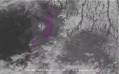
Would you look at that! A weak high pressure system off of our coast is creating a bubble of sunny conditions and a weak area of low pressure arriving from the south is creating offshore flow. You can see some high clouds over the area and both pockets of snow and lover level orographic clouds caused by rising air when it hits the mountains. It’s been a long time since we hit 55. How long? Try 139 days. The last time we hit 55 was November 4th.
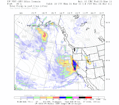
We will have some clouds come over the area, but they will not cause any showers, just cloudier conditions for tomorrow. After that, we will see a few showers over the next week as the flow becomes more zonal straight off the Pacific. Temperatures will be normal for this time of year or a touch below. As has been the case lately, most of the weather will go down south to California. The storm below, forecast to impact California for much of the day tomorrow, is fairly strong by spring standards. The greens denote pretty heavy precipitation.

Enjoy the warm day, we will get cooler, but warmer days are surely right around the corner.
Charlie


