Wednesday, January 18, 2012
9:50 A.M.

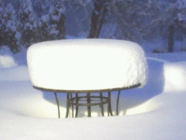
Hello everybody! It snowed last night and most places in Washington are still seeing snow right now! The models this morning actually came more in line with what I was predicting last night and are now predicting more snow for the Puget Sound lowlands. A couple more inches will fall in the Puget Sound region today before the snow tapers off this afternoon. It will remain below freezing today and overnight, so much of the snow on the roads right now will stay there through Thursday. Schools will likely be closed tomorrow.
Olympia got HAMMERED with this storm… my roommate is from Olympia and one of his friends is reporting 13 inches of snow. Warning: everybody who’s not in Olympia will be pretty jealous…
Below are observations over Washington as of 9:53 A.M. Nearly all places are seeing NE winds with the exception of southern Washington, where the winds are from the SE. The “rain” is posted on the right, but all of it has been in the form of snow save perhaps Vancouver, Washington, which is right by the border.

I’ve heard of some preliminary snow totals, and as expected, the heaviest snow was in southwest Washington. Toutle got 18 inches, Centralia got 17 inches, Winlock got 15 inches… incredible stuff. In addition, winds gusted at over 100mph on the Oregon Coast last night.
Seattle might not have gotten the brunt of the storm, but we got a pretty good amount, and I’m content with that. Now, I’m gonna go play in it!
PLEASE post your snow totals, along with your elevation and location, on the comments down below!!!
Enjoy the snow,
Charlie


11 Comments
3 to 3.5 inches in North Seattle!
Nice! Still coming down too, expect another inch, perhaps two inches before it is all said and done!
3.5 inches in South Seattle, elevation about 220ft. Good work Charlie!
5 inches in Lake City!
Looks like about 5 inches here in Wedgwood. Tell me Charlie, is it still going to be followed by a bunch of rain? Because for us, snow + significant rain = flooded basement.
3.25 inches in Ballard elevation abt 50ft. Thanks for the blog!
3 1/2" today, 2 day total about 8", still snowing lightly – Sequim 320'.
19" White Salmon, WA @ 1000 ft.
13.4" Five day total 2.5 today… Lk.Stevens
About 5" so far in West Seattle at elev. 375'. Thanks for your forecasts!
We got 26" of snow at our house in Mineral. Elevation 1,455 feet.
Mrs. Anonymous