WE DID IT!

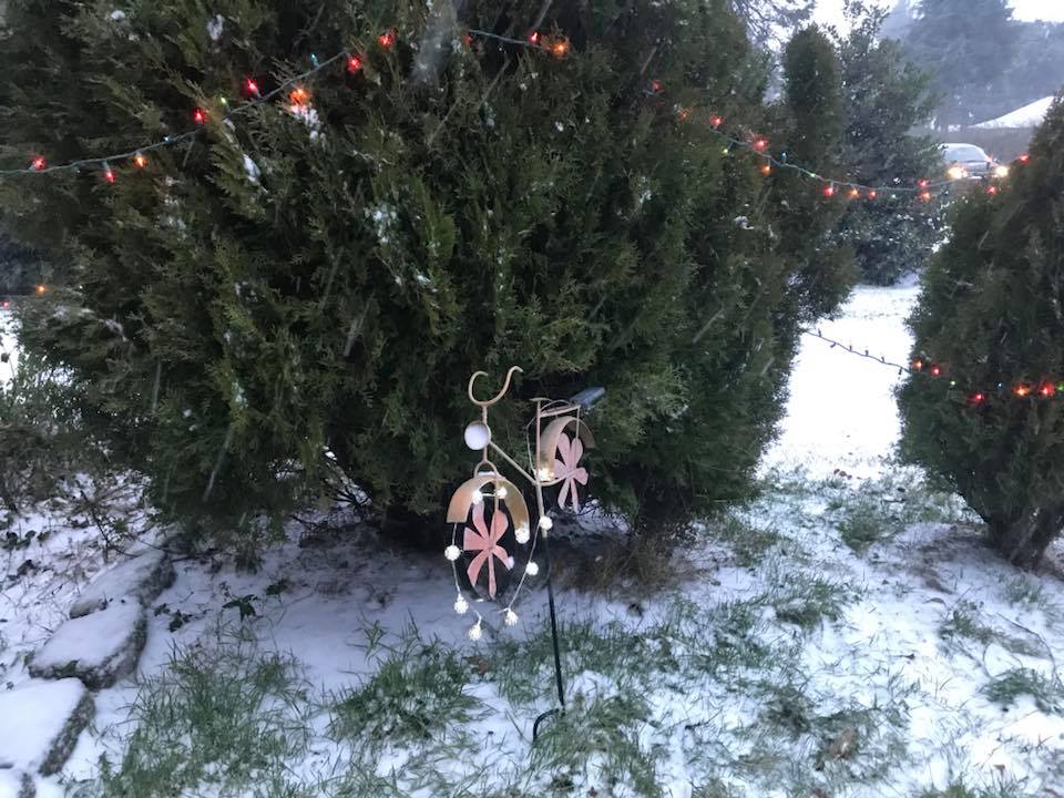
In an event that far exceeded my expectations, Western Washington and even parts of Western Oregon saw their first White Christmas since 2008. Our storm made landfall further south than modeled, leading to colder conditions throughout the area and snow instead of rain for many locales. As expected, snow accumulations varied dramatically with elevation – my house near sea level has snow-free roads, but snow was sticking to the roads above 300 feet and I even saw a “road closed” sign on a particularly steep street on Capitol Hill. I’m riding the Amtrak back to Portland right now, but I feel like I’m aboard the Polar Express.
Here’s a current look at the satellite and radar over the area. As you can see, the elongated front has moved to our east, our surface low is about to make landfall near Garibaldi (it was originally expected to make landfall near Astoria), and our steady precipitation has headed east of the area and dissipated. However, there are still a few showers around the area, with the showers in Washington primarily being in the form of snow and those in Oregon primarily being in the form of rain or freezing rain.

Credit: UW Atmospheric Sciences

Credit: Storm Prediction Center
This low is bringing much warmer air aloft, but this warm air should primarily stay to the south of the low, meaning any showers that occur north of Olympia should remain as snow throughout the night. In the Columbia River Gorge, the East Wind will keep things below freezing for much of the night, meaning any showers will be in the form of sleet or freezing rain.

Credit: Utah State Mesowest
As always, the cold air will be much more stubborn further east and closer to the Gorge itself. The latest WRF keeps the east howling through 2-3 AM and then slowly weakens it, but temperatures will still be at or below freezing for most places by daybreak Christmas Day. If you are in the Portland metro area, don’t travel Christmas morning unless absolutely necessary!
Go ahead and comment with your snow totals, location, and elevation! I’ll make a review blog of our White Christmas snowstorm and would love to have some snow stats from different locations around the region!
Merry Christmas!!!
Charlie


1 Comment
I am so glad that someone was able to get a White Christmas this year, our last was in 2010 (and before that 1995) so as you can see ours are even less frequent than yours