The writing that you see in italics was written on July 8, 2013 at 2:40 P.M. Hawaii time. This post gives an overview of my travel day yesterday. I had a last breakfast with everybody in the morning, and then they all left to go do some field work counting seagrasses while I did some final packing. I said some final goodbyes to the owner, Allois, the maid who cleaned my room, the Japanese owners and cooks of the restaurant downstairs, and some others that worked in the restaurant as waitresses or as deckhands and office assistants for Allois. I’m now about to board a plane to the Big Island from Oahu, where part two of my adventure will begin.
Update July 9, 2013 1:15 A.M. Hawaii time: The pictures are all done but I’ve had troubles uploading the videos. The internet here is still pretty slow, so it may take days for these videos to load. They primarily show views from the airplane. I’ll add them into the blog when they are uploaded. Thanks.
Update July 23, 2013 1:42 A.M. Pacific Daylight Time: I’ve finished all the videos, so here they are!
We started out our journey by lifting off from the Kolonia airport. We got a full view of Pohnpei from the air, and it looked more beautiful than I could have ever imagined. It’s one thing seeing it from the ground, but from the air… that’s in a whole different league.
After Pohnpei, we landed in Kosrae, with is the easternmost island in
the FSM. Kosrae was different and smaller than Pohnpei, but still
incredibly beautiful.
Our pilot sucked at landings. Our landing in Kwajalein was a great example.
I saw some Kelvin-Helmholtz waves and tried to take a video of them. Didn’t turn out that well, but it’s better than nothing. See my section on the Kelvin-Helmholtz waves below and you’ll see the video
I saw some Kelvin-Helmholtz waves while we were flying and decided to
try and attempt to film them. It was pretty turbulent, but Youtube
stabilized the video for me. You might find it interesting.
Updated 12:16 P.M. 7/8/13
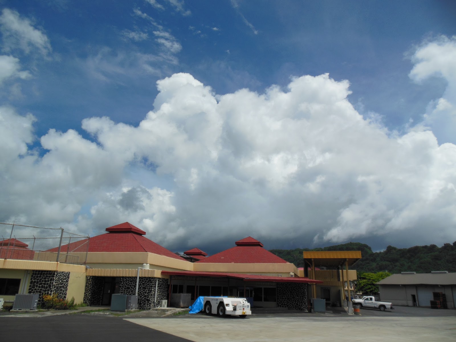
now I’m at the Pohnpei International Airport. Pretty small airport.
Going through everything was faster than waiting in the line to check in
at Sea-Tac. Hell, it was faster than trying to find a parking spot at
the parking lot by the airport terminal.
some last thoughts before I board the plane. I’m going to miss this
place. Seattle is just going to be so superficial when I get back.
Thankfully, I’ll go to the Big Island of Hawaii first, which is sort of
the methadone to wean off a heroin addict so that I’m clean when I
return to the continental U.S. That’s actually one of the worst
analogies I’ve ever made, but you get the deal.
sad to leave. I haven’t been brought to tears though. I knew that
Micronesia would be a life-changing experience, but I never expected to
have an emergency medical evacuation back to the states. I’ve learned a
ton about mangroves and a great deal about Micronesian culture, but I’ve
learned a boatload about myself as well.
 |
| Before I left, the daughter of Allois and his wife picked up the flower I am holding in my right hand out of the Kamar Estuary and gave it to me. I saw this flower and originally thought it was some sort of plastic trash like the hoochies I use for salmon fishing back in the Pacific Northwest, but it turns out it actually was a flower. More specifically, I believe it was originally attached to a Bruguiera mangrove propagule. She also gave me the flower I have tucked behind my ear. Everybody from Pohnpei was so nice, and their kindness was contagious. |
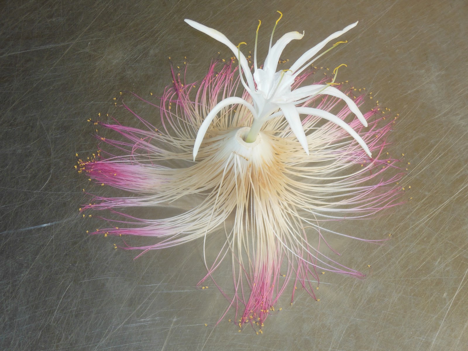 |
| Flower art |
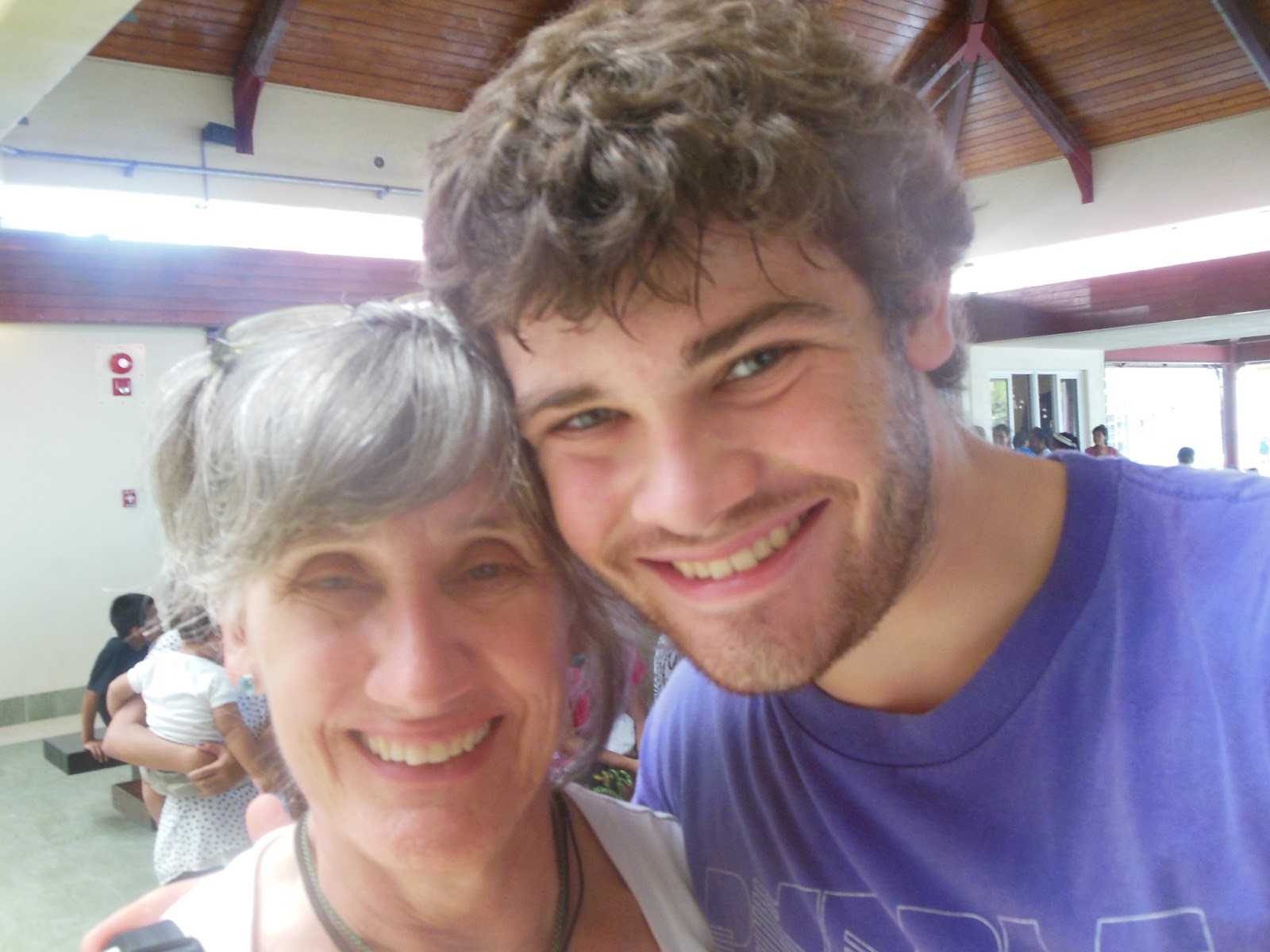 |
| My mom wanted to take a picture of us, and she first had the camera facing the wrong way because she thought my Nikon was like her cellphone and could take pictures facing both ways. Moms these days… |
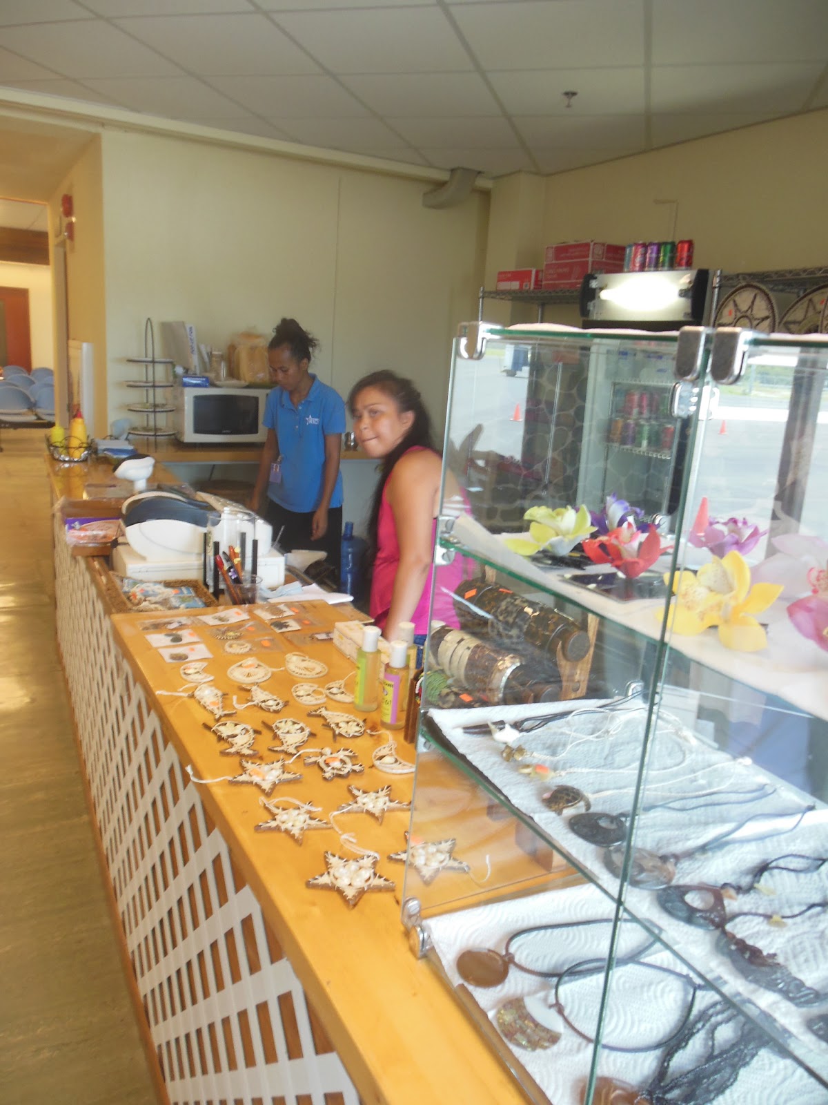 |
| Women selling beautiful handcrafted artwork at the airport. I’m not exactly sure what to call them, but my mom bought one that looked like a wooden pineapple surrounded by an intricately woven pattern of white string at a large store in Kolonia. |
 |
| A painting of the famed Nan Madol. You can find my entire post about Nan Madol here. |
 |
| I guess ohl and lih are Pohnpei-ian for men and women, respectively. |
Ended 12:22 P.M.
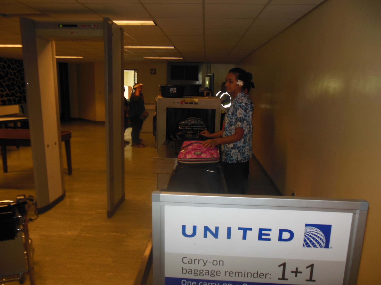 |
| Going through security for Kwajalein |
 |
| Out on the tarmac to Kosrae |
 |
| One last look at Pohnpei :'( (sniff sniff) |
Ended 12:43 P.M.
Alright, well people still haven’t started boarding the planes yet, so let me tell you about my time in Kolonia (see the day 15 blog for more details)
 |
| I saw several patterns of clouds that looked like they could represent miniature fronts. I’d never noticed something like this from a plane, but then again, I hardly ever fly. Can any knowledgeable meteorologist chime in on this? |
 |
| Kelvin-Helmholtz waves. The only other time I have ever seen them was back in 2011 by Mt. Vesuvius in Italy, which I posted this blog about. |
Added 7/23/13: Here is a video I took of the waves when I was on the plane. Youtube was nice enough to stabilize the video for me because it was very turbulent when I was taking the video.
 |
||||
| Upon analyzing the pictures I took once I got to Kosrae, I noticed that the above picture had a striking similarity to the cover of a book that I own. This was not intended. |
 |
| Retrieved from www.neatorama.com |
it’s now 1:58 P.M. and we are starting our descent into Kosrae. I’m going to put this computer away and get my camera out to see
if I can get some spectacular footage. Oooh, it’s bumpy. Just how I like
it.
 |
| Getting off the plane and walking into the Kosrae airport |
 |
| A groovy little information stand in the airport. The “roof” may be made from the leaves of the Nepa, or mangrove palm |
 |
| All the languages on the islands are endemic. You can be fluent in Pohnpei-ian and not know a single word in Kosrae-ian |
I’m in Kosrae right now, and we are about to lift off again and head to
Kwajalein, which is an island that is part of the U.S. Marshall
Islands. I’m not exactly sure what it is, but I know that the Marshall
Islands are very low-lying, so I hope it is an atoll of some sort. That
would be amazing.
Kosrae is smaller than Pohnpei. It it mountainous, like Pohnpei, but to
a much lesser extent. When I stepped off the plane, it felt warmer and
drier than Pohnpei, but much of this may be due to short-term changes in
weather patterns or just the fact that it is now later than when we
left Pohnpei. I would predict that these two locations would have
similar weather close to shore (not in the mountains because the
terrain is vastly different) because they are in similar parts of the
world, but I could be wrong.
 |
| A poor picture of the topography of Kosrae. It is similar to Pohnpei, but the mountains are smaller, and overall, I’d say the geographical layout of the island is less spectacular |
talked with a woman in the airport named Christina about the weather
and global warming, and she was convinced that global warming was
occurring because Kosrae just kept getting hotter and hotter and there
was nothing anybody could do about it. I feel like this is a common
sentiment that is shared by many living in third-world countries. Either
the weather is actually getting hotter, or they are acquainted with
global warming and believe that their location is getting hotter even if
it isn’t. The latter may be particularly prevalent in tropical zones,
where the atmosphere was warmed very little. Still, I’ll take
Christina’s word for it. She said that she loved to visit Oahu to cool
off every once in a while, and even sitting here in this airplane with
the air condition on full blast, I can’t blame her. One thing remains
true… I am going to freeze my arse off when I get back to Seattle.
Ok, 3:14 and back on the plane. The United Airlines 737 we are in has
these drop down computers that display the safety precautions.
Ok, just got scolded for having my laptop out out. Bye. 3:15 P.M.
Began 3:27 P.M.
I
guess that’s how long it takes to get from sea level to
approved-portable-electronic-devices land. And as I type this, there is a
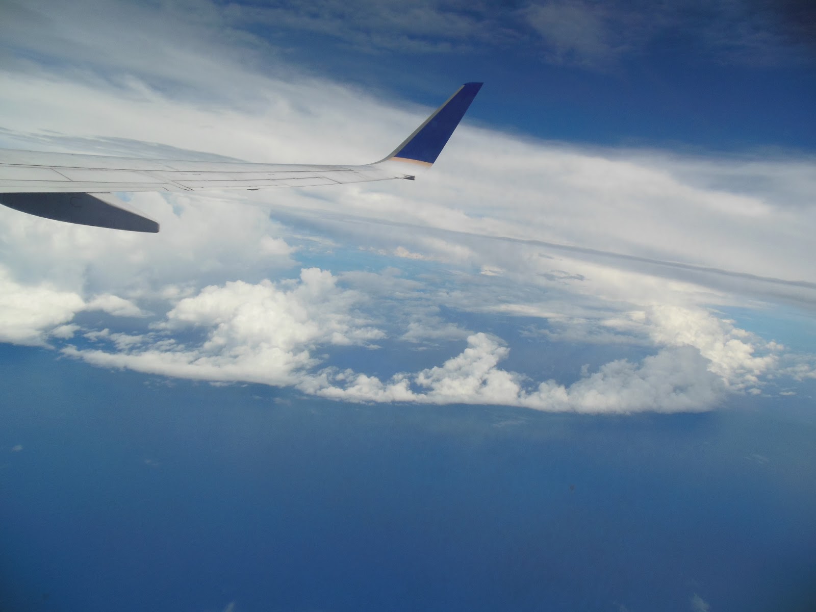
really gnarly cumulus congestus cloud outside. Check this out. 3:29
P.M.
 |
| The vertical nature of the cloud infers that there is very little wind shear in the atmosphere. |
In the distance,
there looks to be a more organized cumulonimbus cloud.
 |
| They weren’t supercells, but these tropical showers could drop a ton of rain in a very short amount of time. |
I’d love to be
under these clouds right now, but I guess over will have to do. I don’t
know what elevation we are at right now, but I would assume that we are
fairly close to our cruising altitude of ~35,000 feet or whatever
airline pilots do these days. If my calculations are correct, that means
these clouds are up to 40,000 feet above sea level, which is very
impressive. For comparison, our thunderheads in Seattle barely reach
25,000 feet. Tops.
Well, 3:39 P.M. and, after some
moderate turbulence, we are past the cloud. Why don’t pilots fly through
thunderstorms? If you ask me, you gotta go hard or go home. I’m just
assuming this was a thunderstorm because of the height of the cloud.
There is a possibility that it was just a harmless, albeit extremely
intense, rain shower.
2:41 P.M.: I just got offered a
beautiful “snack,” as the United Airlines flight attendant called it.
 |
| White buns with a few slices of ham slapped between |
 |
| I’ll take calories over values |
It
consisted of some Oreos, some mustard, some moistened wipes, some “Nip
Chee” crackers, a couple slices of ham shoved between two hamburger
buns… you know, the usual gourmet airplane food. I am a pescetarian,
but when I’m on a plane, I’m a flexitarian. You can’t be picky at 35,000
feet. Unless you are on a 12-hour nonstop flight from London to Seattle
in business class on the upper deck of a 747. But that’s a different
story for a different time. Another point of interest… I just saw a
boat. It wasn’t a cargo ship, but it must have been pretty large because
I could see it from up here. Excuse the murky picture, I’m not in the
optimal location for taking flawless pictures.
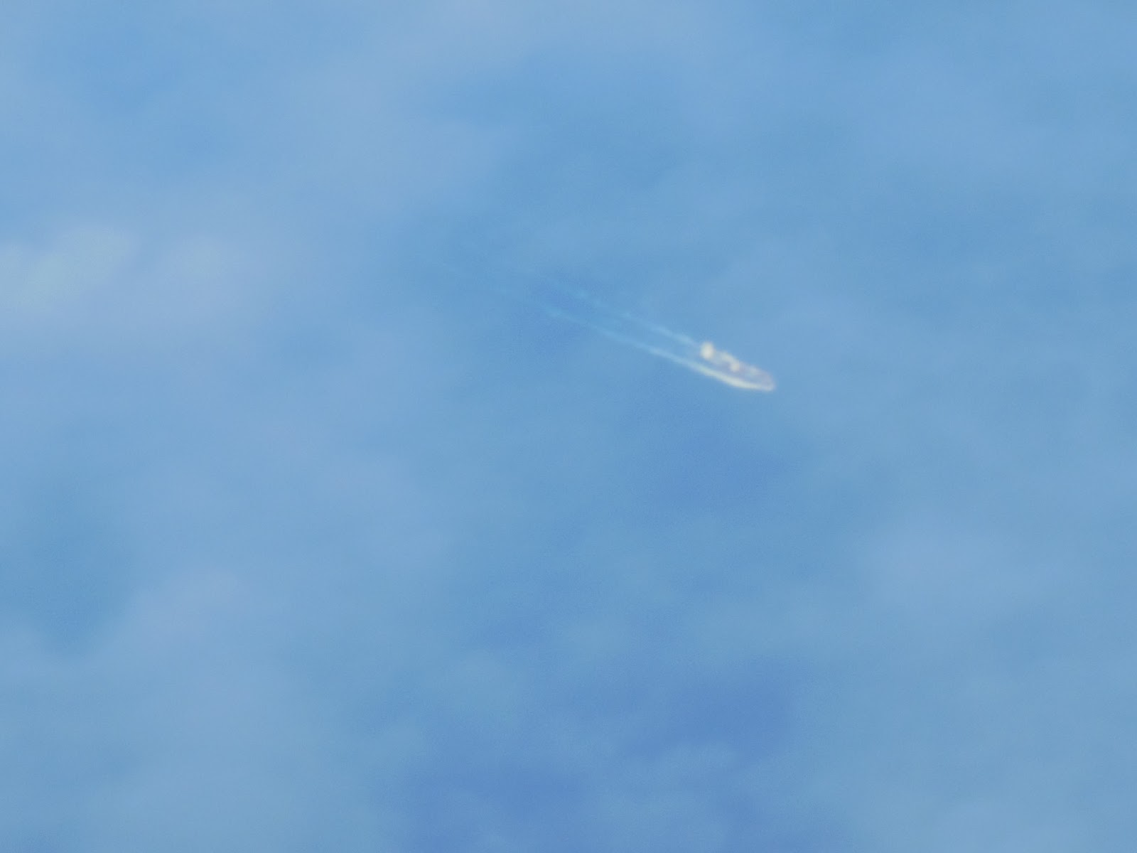 |
| I’m actually surprised you can see it at all! |
I also posted a picture below of an island I saw in the far, far distance. Again, this camera is pretty good for its size and price point, which means it is small, cheap, and decent quality.
 |
| I don’t do that Instagram nonsense, but this picture looks like it could be used for it |
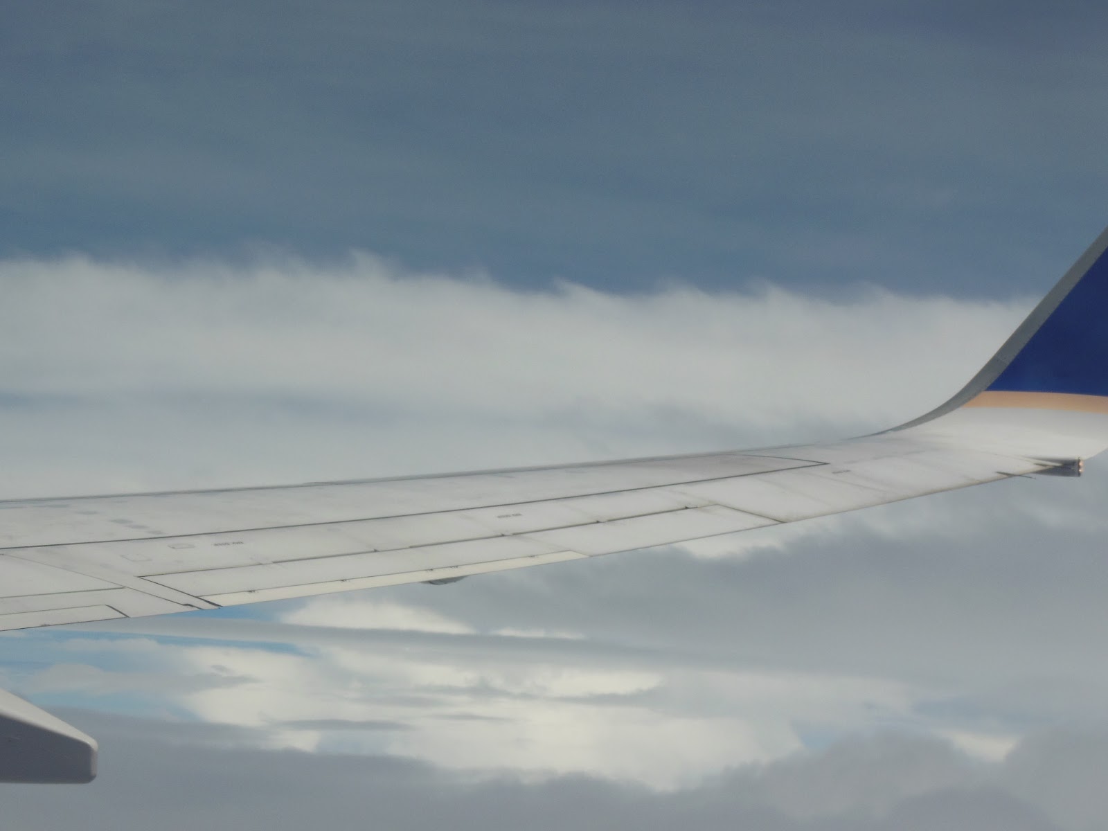
I also just flew by yet another interesting band of clouds that looks
like it would be associated with a mini-front. Can any of you guys who
are on the Facebook weather groups chime in on what is causing these
cloud formations?
 |
| A cumulonimbus cloud with a weak anvil-like feature at the top and an interesting front-like feature below. |
 |
| A closer look at the “front.” It kind of looks like a really pathetic shelf cloud. Any ideas, anybody? |
5:27 (we went ahead a time zone)
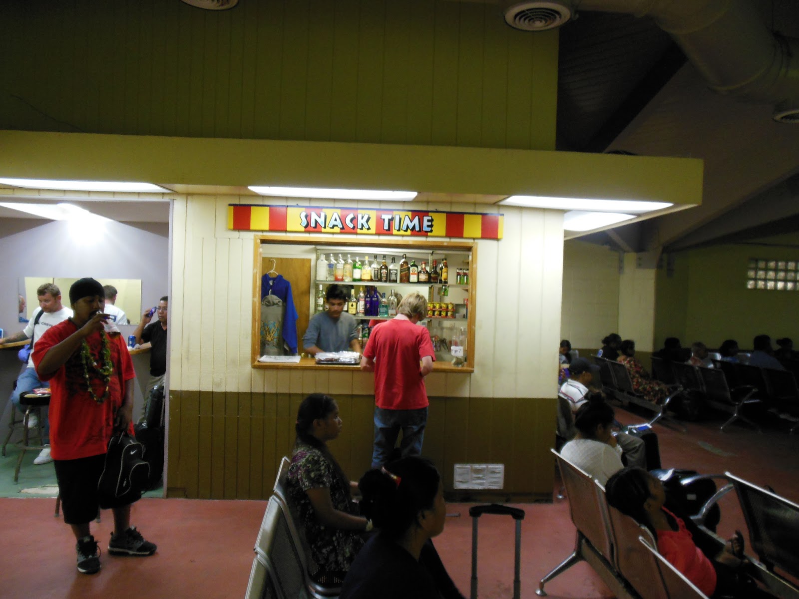
We
landed at Kwajalien. Apparently this is some military base or something,
so the people who are staying on the plane (like us) are not allowed to take a break and exit the plane into the airport terminal, which is a shame because it looks really pretty. We
are right on the beach right now, and it looks like there is a good
seabreeze a-blowing. There’s not much to Kwajalein… all I see are some
white buildings, some interesting geodesic domes, and a big spherical
ball with a blinking light on top, which I’m hoping is a doppler radar.
Interestingly enough, there is a golf course right by the runway, and it is extremely well-manicured. It took me by surprise; I didn’t see anything like this in Micronesia.
So,
some Americans in “construction orange” just searched the plane for
unclaimed bags. They came down the aisle pushing a big beverage cart (I
have NO idea why), and on their way back, they just looked in the
overhead bins for bags. We were told to take all of our personal
belongings out of the overhead bins and into our laps. They wanted to
make sure that nobody left the plane without picking up their overhead
bags because Micronesian security is pretty lax and American security is
anything but.
It
is currently 6:24 P.M. We lifted off from Kawalein at 6:05. The
geography here is very different from anything we saw in Pohnpei or
Kosrae… it is extremely flat. There are some really cool atolls around
the airport; I tried many times to get a good picture of one, but I was
not able to do so, as they were too far in the distance.
 |
| My attempt at a picture of the atoll |
We’ve got one
more stop, Majuro, before we begin the flight to Honolulu. Assuming that
we don’t crash, we should get into Honolulu around 2:45 A.M. Monday
(Honolulu time), so we will have arrived ten hours earlier than when we
left. Of course, it will be round midnight at Pohnpei (Honolulu is 21
hours behind Pohnpei), so my comrades back in Micronesia will be
beginning Tuesday when I’m starting Monday all over again. My mom’s
b-day was yesterday, so technically it is her birthday in Seattle today.
So unfortunately, she was one day off from being able to celebrate her
birthday twice. Oh, what the hell… it’s the 7th in Seattle right
now… 11:34 A.M. I believe, so we might as well
celebrate it twice.
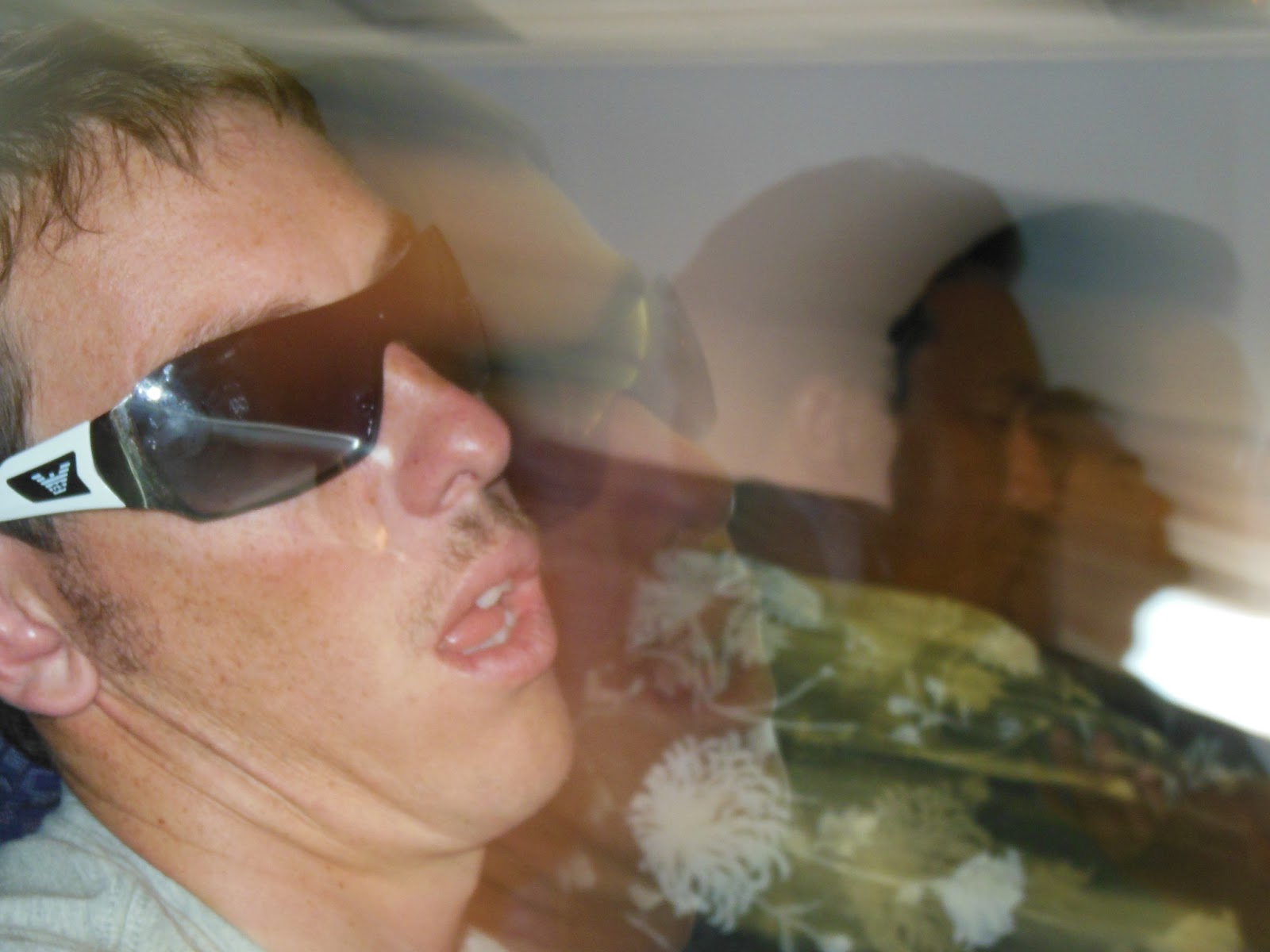 |
| My attempt of a picture of the guy next to me before my mom got mad at me. At first, I was mad because I wanted to sneak in another one so I could get a non-blurry picture, but I actually think this picture is pretty cool. |
As I fly by these clouds, I can’t
help but marvel at the grandiose, complete structure of them. And with
another huge cumulus in the distance, I’m issuing a “picture watch,”
Which means that we may see a “picture warning” in the next 5 minutes.
Woohoo! 6:42 P.M. – turbulence warning from the pilot.
6:47 and my camera’s battery got exhausted. But the storm is really massive. Whitecaps too.
7:10:
In Majuro. Unfortunately, the turbulence was underwhelming. And even
more unfortunately, right after my camera’s battery went out, we flew
over a beautiful atoll. I’ll have to paint a picture with my words on the long flight to Honolulu.
Update 8:54 Pohnpei time (I have no idea what time zone we are in now) – I made a poem.
Until
them, though, we are in the Majuro airport.
 |
| A little last breath of camera life I was able to get in the Majuro airport |
 |
| Another brief breath |
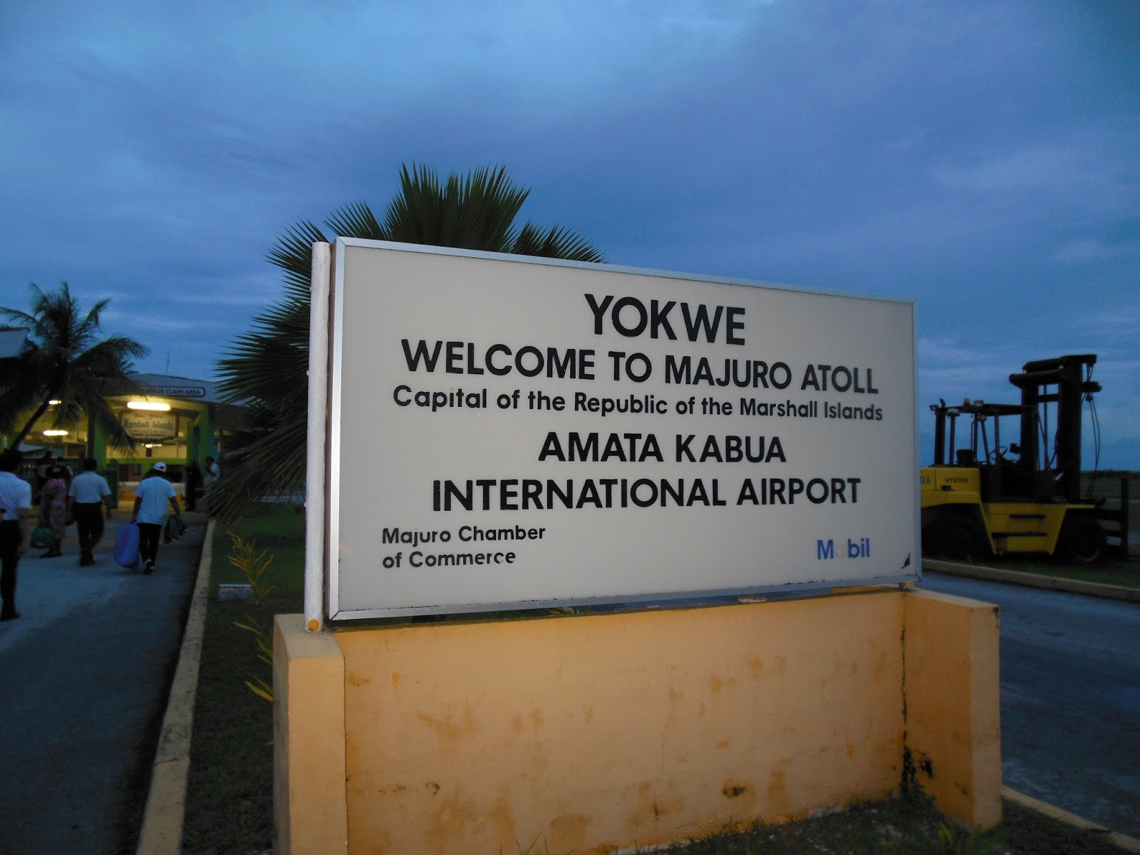
Majuro is an atoll
surrounded by the open ocean on one side and a blue lagoon on the other.
Seeing as it is 7:14 right now, the sky is dark blue and I expect it to
be black momentarily. The sun sets like you wouldn’t believe in the
tropics. The Marshall Islands is a trust territory of the United States,
but unlike Kwajalein, we were actually able to get off.
 |
| Majuro was probably the coolest location I got to hop out at. I took a brief a-stroll around. |
 |
| A picture I was able to sneak in when we got to Majuro when the battery was on its last electron. |
One
of the most striking things about Majuro is its elevation. The average
man – even if he is white – can jump higher than the highest point of
natural elevation on this island. There was a seawall on either side of
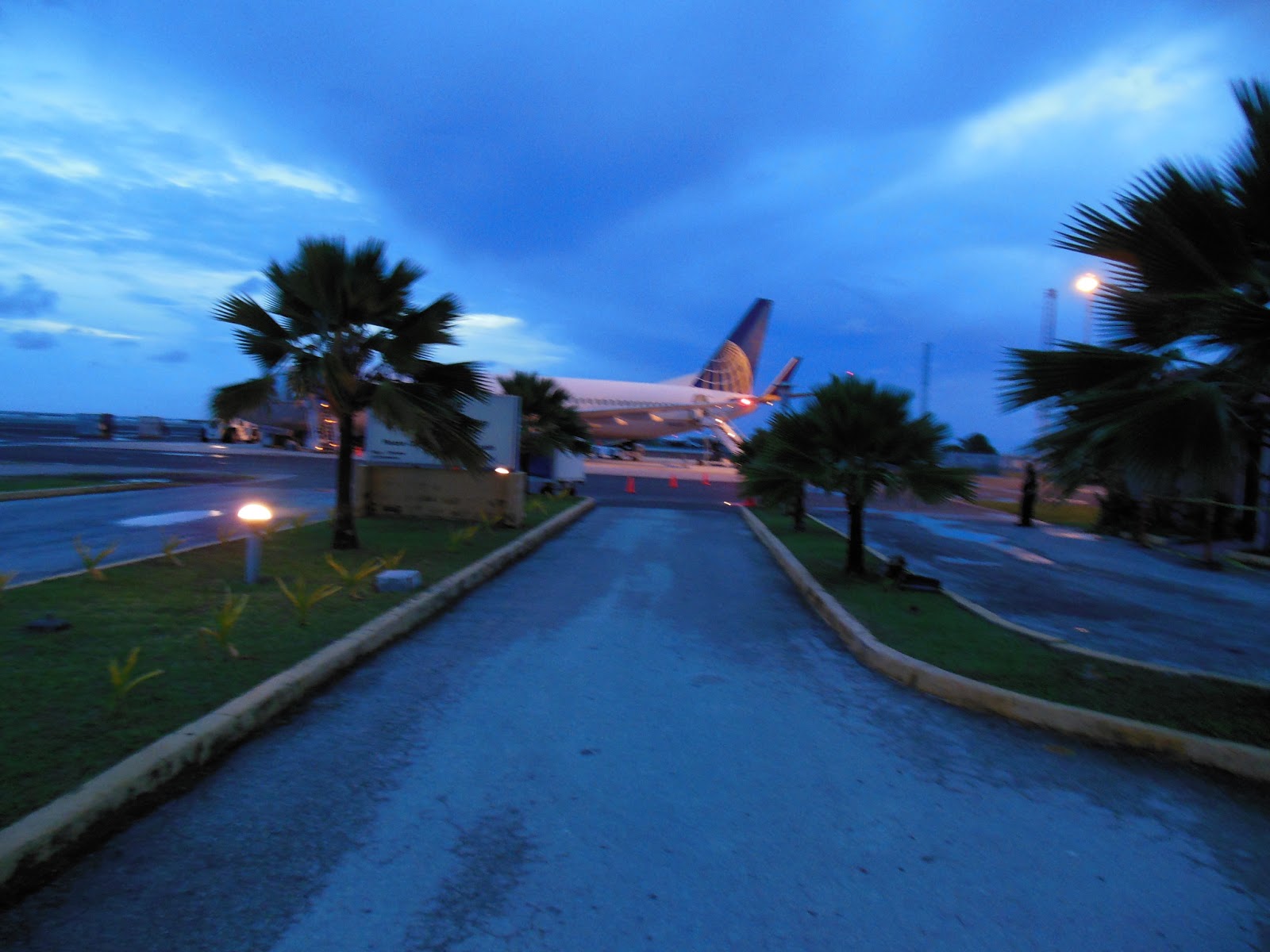
the runway, and some parts of it had sandbags. Boarding: 7:19 P.M.
Alright!
It’s 7:34 right now, and I am on board the 737-800 airplane. As
promised, it is now pitch black outside. People are piling in, and we
are getting prepared for the long flight to Honolulu. We’ve already had
three stops: Kosrae, Kwajalein, and Majuro, and now it’s time for the
grand finale. Anyway, back to what I was talking about earlier with the
seawall. A storm surge of a meter could completely swamp the entire
island. I haven’t done my research on how many typhoons pass the
Marshall Islands, but I don’t think there would be a whole hell of a
lot. Typhoons generally form further west. I don’t know how far north
Majuro is, but I know it’s in the tropics. It sure feels like it. If it
is too close to the equator, the probability of a direct typhoon hit is
low because the Coriolis Effect decreases until it ceases to exist
directly at the equator, and with the Coriolis Force significantly
weakened, it is much harder to form a rotating cyclone.
But
even if the island never had a single storm surge or wave, no matter
how small, it would still be under an increasing threat of being
flooded. As I’m sure all of you are aware, the sea level is expected to
rise throughout the 21st century due to melting ice and thermal
expansion of water. The figure that I most often hear for the change in
sea level by 2100 is two-thirds of a meter. Two-thirds of a meter might
not seem like much, and to many places, it isn’t. Because much of
Pohnpei is mountainous, a sea level rise of this magnitude should be
easy to manage. However, on low-lying islands and atolls, even the
slightest sea level rise could spell disaster. The “benchmark” level
upon which high tides, waves, and temporary increases of sea levels due
to winds or pressure will be higher, and the storms that hit in the
future will have greater effects than they otherwise would if sea level
had stayed the same.
7:47. Time for liftoff. I gotta put this baby away.
 |
| A picture I tried to take of Majuro at night as the plane was leaving. After trial and error, I finally was ready to get a good pic when my camera died again. Talk about horrible timing. These squiggilies will have to do. |
8:10 P.M.
We are finally on our way to Honolulu. And yes, portable electronic devices are allowed.
It
was completely black by the time the pilot fired up the turbines for
liftoff. As I was boarding, I asked him how much fuel this plane could
hold. His answer? 44,000 pounds.
I was talking with
Julian Sachs, the oceanography professor leading this trip, about carbon
dioxide emissions (I think the specific context was how much the
emissions were for Pohnpei, which generates all of its electricity and
heat by burning diesel fuel imported via cargo ships. Julian brought up a
study run by some graduate student at the University of Washington that
looked at and ranked the activities affiliated with the university that
emitted the most carbon dioxide. The winner? Faculty travel.
And
it wasn’t even close. Faculty travel beat out heating/cooling,
electricity… everything. I know that I used to have the misconception
that air travel was relatively clean… after all, how much fuel can you
fit in one airplane? Well, the answer is a lot. Improving air travel
efficiency is a great way to solve economic and climatic problems. The
ironic part is that climate scientists, who travel all over the world to
preach the importance of reducing carbon dioxide emissions, have higher
carbon footprints than 99% of the population.
8:22 P.M.
Since I have pictures/videos for all my other takeoffs and landings, I thought I’d write a poem about my landing into Majuro.
sorry had to interrupt was some CRAZY turbulence. Best I’ve ever
experienced. Worst my mom’s ever experienced… she wants alcohol now.
8:05 Pohnpei time… I have no idea what time zone we are over now.
Anyway…
Landed 2:12 A.M. 7/8/13 Honolulu time (11:12 P.M. 7/9/13 Pohnpei time). Goodnight.
Charlie