
Well… it couldn’t last forever.
The upper-level trough that pushed through the region last Friday ushered in a much cooler and cleaner airmass to give us a refreshing end to the workweek and start to the weekend. But as a ridge strengthened over the area on Saturday and onshore flow decreased, high-elevation smoke started to filter into the region, and things got much, much worse Sunday afternoon as an upper-level trough cut into Central Oregon and turned mid and upper-level flow over the area northerly, sending smoke from BC wildfires southward into the Pacific Northwest.

The result was a terrifyingly abrupt transition to alarmingly hazy skies, and things only got worse overnight and into Monday. Check out the photo my folks shot this evening looking west across Cultus Bay to Scatchet Head on the southern tip of Whidbey Island. Though it doesn’t show up in this photo, the sun is a dim, blood orange (similar to the color you see on the water). I saw a similar scene yesterday in Seattle, and the sun was so dim that I could easily stare directly at it without being temporarily blinded. I didn’t want to tempt fate too much though, so I tried to restrain myself, no matter how mesmerizing it was.

Last week’s smoke/2017 Eagle Creek Fire
I knew last week was smoky, but I didn’t realize exactly how smoky it was until I read one Cliff Mass’ recent posts in which he states that the air quality last Wednesday was the worst 24-hour air quality on record at Seattle, Tacoma, and many other sites around the Pacific Northwest based on the sheer amount of particulate matter in the air. I always assumed that September last year during the Eagle Creek Fire was the worst… after all, Portland and Seattle had ash falling from the sky due to the Eagle Creek Fire in Portland along with thick yellow/gray skies. According to Justin Shaw (founder of www.seattleweatherblog.com), that was the first time since the Mt. St. Helens eruption in May 1980 that ash fell on Seattle.

Credit: Amy Raulerson

Credit: Trevor Adler
So I took a look at the air quality in Longview, WA (the closest air Puget Sound Clean Air Agency site I could find to Portland with observations the present day) to see how the air quality from the Eagle Creek Fire compared to air quality on Wednesday. With its closer proximity to Eagle Creek and the Columbia River Gorge, I figured that Longview’s record-worst day had to be in 2017, and lo and behold, it was.

Credit: Puget Sound Clean Air Agency
However, as I looked closer, I noticed that the record was set on August 3, 2017 – over a month before the Eagle Creek fire. I remember this day vividly because the sky was blood red and we were expected to reach 108 degrees in Portland – a new all-time high – but only got to 105 due to all the smoke. Last week and yesterday were worse at Longview than they ever got during the Eagle Creek fire. We’ll see if today’s concentrations break all-time records there.

Credit: Puget Sound Clean Air Agency
Current Conditions
As you might expect, the National Weather Service has “Air Quality Alerts” for nearly the entire Pacific Northwest.

Credit: NWS Western Region Headquarters
The Environmental Protection Agency’s “Airnow” website shows AQI (air quality indices) as being “unhealthy” (red) throughout Washington and Oregon

Credit: Environmental Protection Agency Airnow Program
The on-site observations in match up well with the Airnow graphic and show “Unhealthy” conditions over most of North/Central Oregon.

Credit: Oregon Department of Environmental Quality
However, site-observations reveal that air quality at many Puget Sound locations is far worse than the Airnow graphic indicates. Lake Forest Park is even at “hazardous” levels tonight. Yikes!

Credit: Washington Department of Ecology
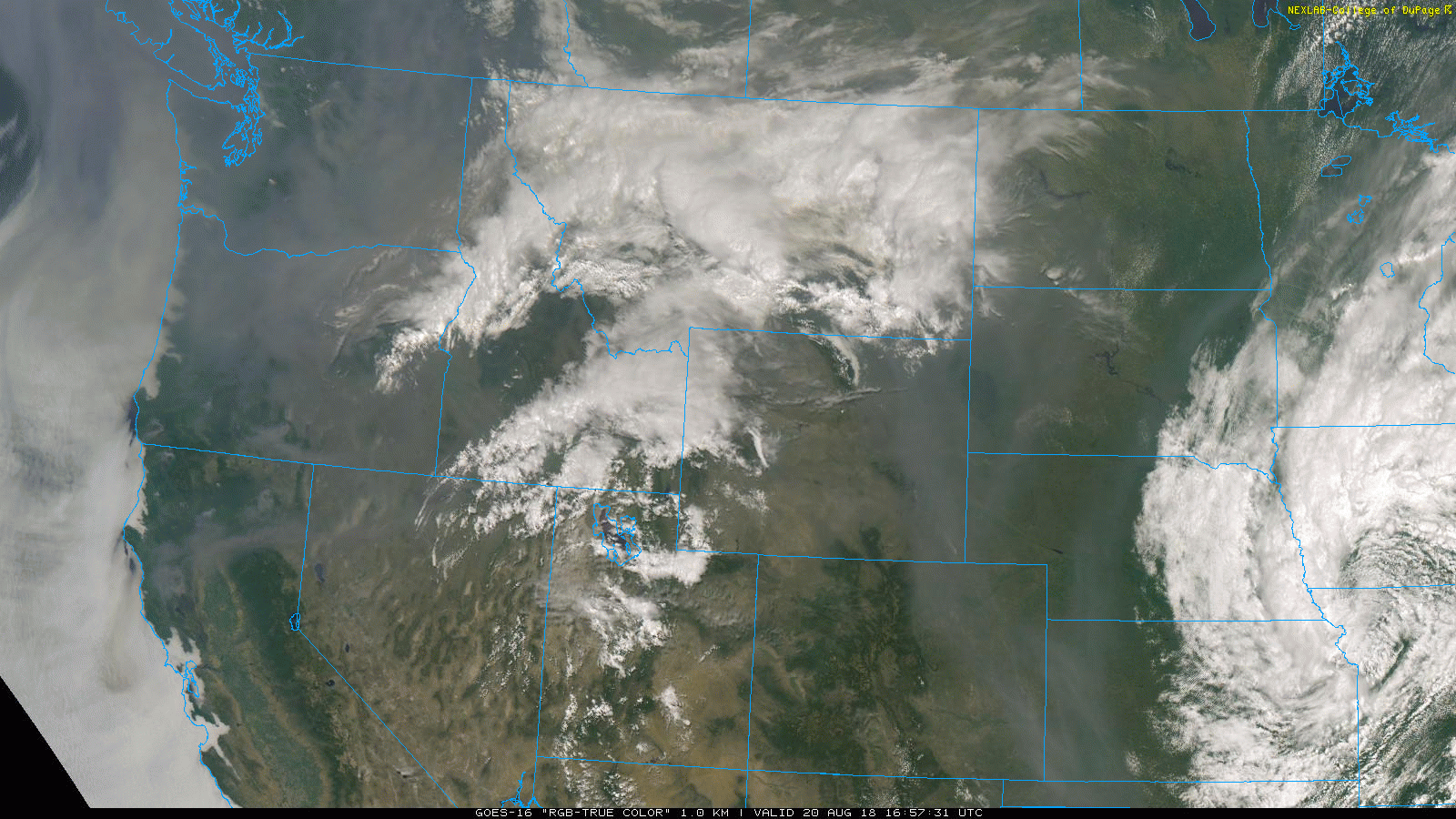
The reason we’ve seen such an influx of smoke is because a compact shortwave trough dropped southward from British Columbia throughout the day today, giving us strong northeasterly winds aloft to move all of the smoke from fires over British Columbia and the Washington Cascades into Western Washington and Oregon.

Credit: Storm Prediction Center
Finally, here’s an animation throughout the day of the smoke over the area. You can clearly see an upper-level low spinning over Central Idaho in the afternoon, and you can also see fires over the Washington Cascades building as the day goes on and sending thick smoke plumes into Western Washington and Oregon. The biggest plume here came from the Crescent Mountain Fire near the NW end of Lake Chelan. I don’t know what’s more incredible – the amount of smoke over the Pacific Northwest or the fact that a satellite hovering 22,236 miles above South America can capture it in this much detail. The GOES-16 visible satellite images in this animation were retrieved from the College of Dupage’s GOES-16 page here.
Forecast
A thermal trough will build over Western Oregon and Washington tomorrow, creating offshore winds at the surface, and northeasterly flow will continue aloft. While this means much of our existing smoke from Canada will be pushed out of the region, we’ll see a significant influx of smoke from the McLeod, Crescent Mountain, and Cougar Creek fires over the north/central Cascades into Western Washington.
The latest HRRR shows the smoke from these fires plowing directly into the Puget Sound region and bombarding the Seattle metropolitan area with very unhealthy or even hazardous air quality tomorrow evening. There were already some reports of ash around Seattle tonight, but if this forecast were to come to fruition, far more ash would fall and the air quality would likely be the worst ever experienced in the city. The HRRR shows AQIs of 500 – the highest on the scale – for parts of Puget Sound. That is insane!

Credit: ESRL/NOAA
Meanwhile, this model actually shows Portland clearing out tomorrow, as it is not immediately downwind of any major fires. Portland should still be smoky tomorrow (especially for the first half of the day), but air quality should improve as the day goes on. One thing is for sure: Portland will be in FAR better shape than Seattle.
The whole region will begin to clear Wednesday evening as onshore flow returns, and on Thursday, an upper-level trough passing to our north will give us a strong onshore push with a much cooler airmass, finally pushing all this smoke east of the area. Thursday marks the beginning of an extended stretch of cooler-than-normal weather, and we may even see a few raindrops over the weekend as an upper-level trough settles over the region.
Gotta go for now, it’s late and I need to hit the hay. I’ll have more tomorrow.
Thanks for reading, and don’t overexert yourself in all this smoke!
Charlie

