All webcams from Washington State Department of Transportation unless otherwise noted.
4th Ave S, EB Seattle, 90′ |
Airport Way, WB Seattle, 30′ |
8th Ave S, EB Burien, 400′ |
3rd Ave S Seattle, 30′ |
Airport Way, VMS Seattle, 30′ |
NB I-5 to EB I-90 Ramp Seattle, 130′ |
12th Ave S, EB Seattle, 190′ |
12th Ave S, WB Seattle, 190′ |
Corwin Pl S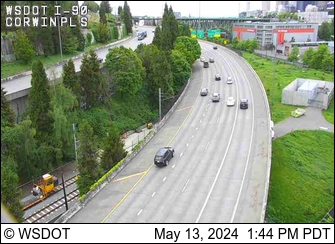 Seattle, 110′ |
18th Ave S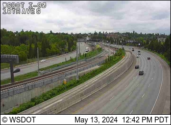 100′, Seattle |
23rd Ave S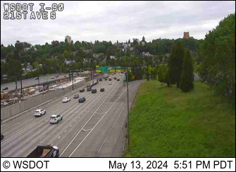 150′, Seattle |
Rainier Ave S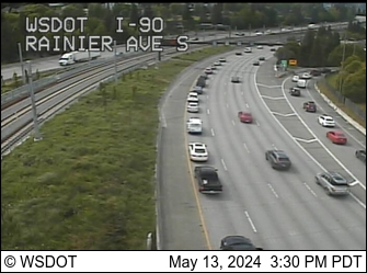 100′, Seattle |
East Portal, Mt. Baker Tunnel Seattle, 90′ |
Floating Bridge, West Highrise Lake Washington, 70′ |
I-90 Bridge Midspan Lake Washington, 20′ |
Floating Bridge, East Highrise Lake Washington, 60′ |
W Mercer Way Mercer Island, 130′ |
76th Ave SE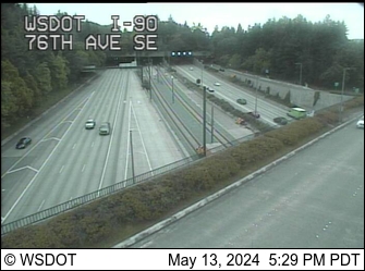 Mercer Island, 80′ |
77th Ave SE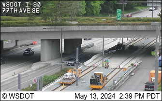 Mercer Island, 90′ |
ICW Tunnel Mercer Island, 70′ |
Island Crest Way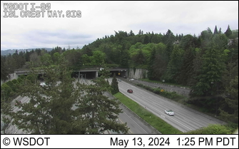 Mercer Island, 70′ |
80th Ave SE Mercer Island, 100′ |
Shorewood Mercer Island, 140′ |
Shorewood West Mercer Island, 140′ |
E Mercer Way Mercer Island, 100′ |
N Mercer Way Mercer Island, 130′ |
Barnabie Pt Mercer Island, 90′ |
108th Ave SE Bellevue, 90′ |
Bellevue Way SE Bellevue, 40′ |
118th Ave SE Bellevue, 60′ |
133rd Ave SE Bellevue, 190′ |
142nd Pl SE Bellevue, 330′ |
161st Ave SE Bellevue, 330′ |
150th Ave SE Bellevue, 340′ |
163rd Ave SE Bellevue, 310′ |
192nd Ave SE Issaquah, 120′ |
W Lk Sammamish Pkwy Issaquah, 200′ |
SR 900 Issaquah, 70′ |
Front St. Issaquah, 70′ |
Front St. EB Ramp Issaquah, 70′ |
Sunset Way Issaquah, 220′ |
246th Ave SE, WB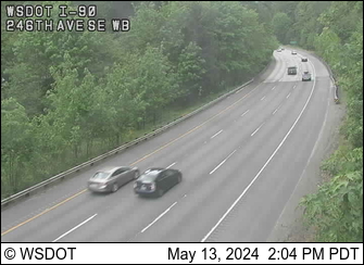 Issaquah, 250′ |
246th Ave SE, EB Issaquah, 270′ |
256th Ave SE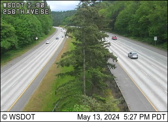 Issaquah, 390′ |
284th Ave SE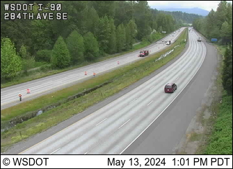 Issaquah, 500′ |
SR 18 Issaquah, 970′ |
North Bend, MP 33 North Bend, 500′ |
Tinkham Road, MP 45.26 Approaching Snoqualmie Pass, 1,500′ |
Denny Creek, MP 46.8 1,800′ |
Asahel Curtis, MP 48 1,900′ |
Rockdale, MP 49 2,100′ |
Franklin Falls, MP 51.3 2,700′ |
Snoqualmie Summit, MP 52 3,022′ |
E Snoqualmie Summit, MP 53 ~3,000′ |
Alpental Base Credit: Summit at Snoqualmie, 3,140′ |
Alpental, Top of Armstrong Credit: Summit at Snoqualmie, 4,400′ |
Alpental, Top of Chair 2 Credit: Summit at Snoqualmie, 5,400 |
Summit Central Base Credit: Summit at Snoqualmie, 2,950 |
Silver Fir Base Credit: Summit at Snoqualmie, 2,830′ |
Alpental Road Credit: Alpental NetCam, 3,100′ |
Hyak Aviation Cam, Looking NW 2,530′ |
Hyak Aviation Cam, Looking WNW 2,530′ |
Hyak Aviation Cam, Looking W 2,530′ |
Hyak Aviation Cam, Looking SW 2,530′ |
Hyak Aviation Cam, Looking SE 2,530′ |
Hyak Aviation Cam, Looking E 2,530′ |
Hyak, MP 55.2 Looking NW, 2,530′ |
Old Keechelus Snow Shed, MP 57.7 Lake Keechelus, 2,570′ |
Top of Easton Hill, MP 67.4 Easton, 2,650′ |
Easton, MP 70.6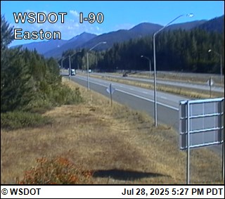 Easton, 2,150′ |
Easton Airport, Looking W Easton, Looking at Runway 09, 2220′ |
East Easton, MP 72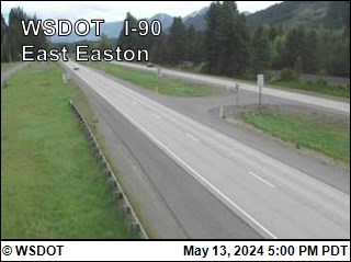 Easton, 2,130′ |
West Nelson, MP 73.19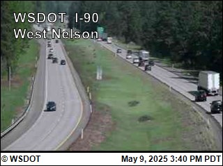 Easton, 2,100′ |
Bullfrog, MP 79.54 South Cle Elum, Facing E, 1970′ |
Bullfrog, MP 79.54 South Cle Elum, Facing W, 1970′ |
Cle Elum, MP 84.6 Cle Elum, 1,910′ |
Indian John Hill, MP 89 Cle Elum, 2,130′ |
Elk Heights, MP 92 Teanaway, 2,280′ |
Elk Heights, MP 93 Teanaway, 2,230′ |
Rocky Canyon, MP 96.2 Thorp, 2,000′ |
Thorp, MP 101 Thorp, 1,640′ |
Ellensburg MP 110 Ellensburg, 1,520′ |
Ryegrass Summit, MP 126 Vantage, 2,500′ |
Vantage Just W of Columbia River, 600′ |
Vantage Bridge, MP 138 (Looking W) Just E of Columbia River, 570′ |
Vantage Bridge, MP 138 (Looking E) Just E of Columbia River, 570′ |
Gorge Concert Exit, MP 144 Quincy, 1,220′ |
Dodson Rd, MP 164.5 (Looking E) Moses Lake, 1,230′ |
Warden Exit, MP 189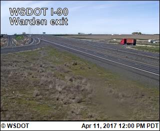 Warden, 1,170′ |
I-90/US 395 Interchange @ Ritzville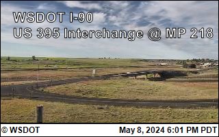 Ritzville, 1838′ |
Tyler Interchange, MP 257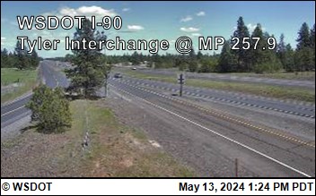 Tyler, 2,300′ |
Division St.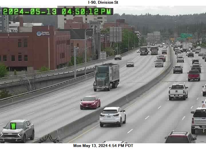 Spokane, 1,950′ |
Liberty Lake, MP 296 Spokane Valley, 2,050′ |
Harvard Rd. Spokane Valley, 2,050′ |
Starr Rd. Spokane Valley, 2,040′ |
Idaho Rd. WA-ID Border, 2,070′ |